Skip to content
DEM-1

Living Wales

Wales earth observation monitoring environment policy

  • Data
  • Geo-portal
  • Planet
  • Learning & Art
  • Themes
  • Collaborations
  • About Us

DEM

HomeDataEnvironmental DescriptorsLand and WaterTerrainDEM

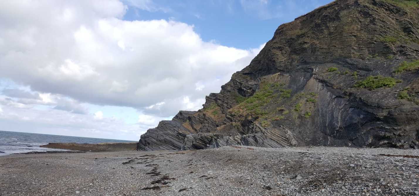
Digital Terrain Models (DTMs) represent the elevation of bare terrain whilst Digital Surface Models (DSMs) represent the upper height of all objects on the land surface.
  • Copernicus EU-DEM v1.0
  • Copernicus EU-DEM v1.1
  • Lle Wales LiDAR DSM & DTM
  • OS Terrain 50
Proudly powered by WordPress | Theme: Edin by WordPress.com.
  • Data
  • Geo-portal
  • Planet
  • Learning & Art
  • Themes
  • Collaborations
  • About Us