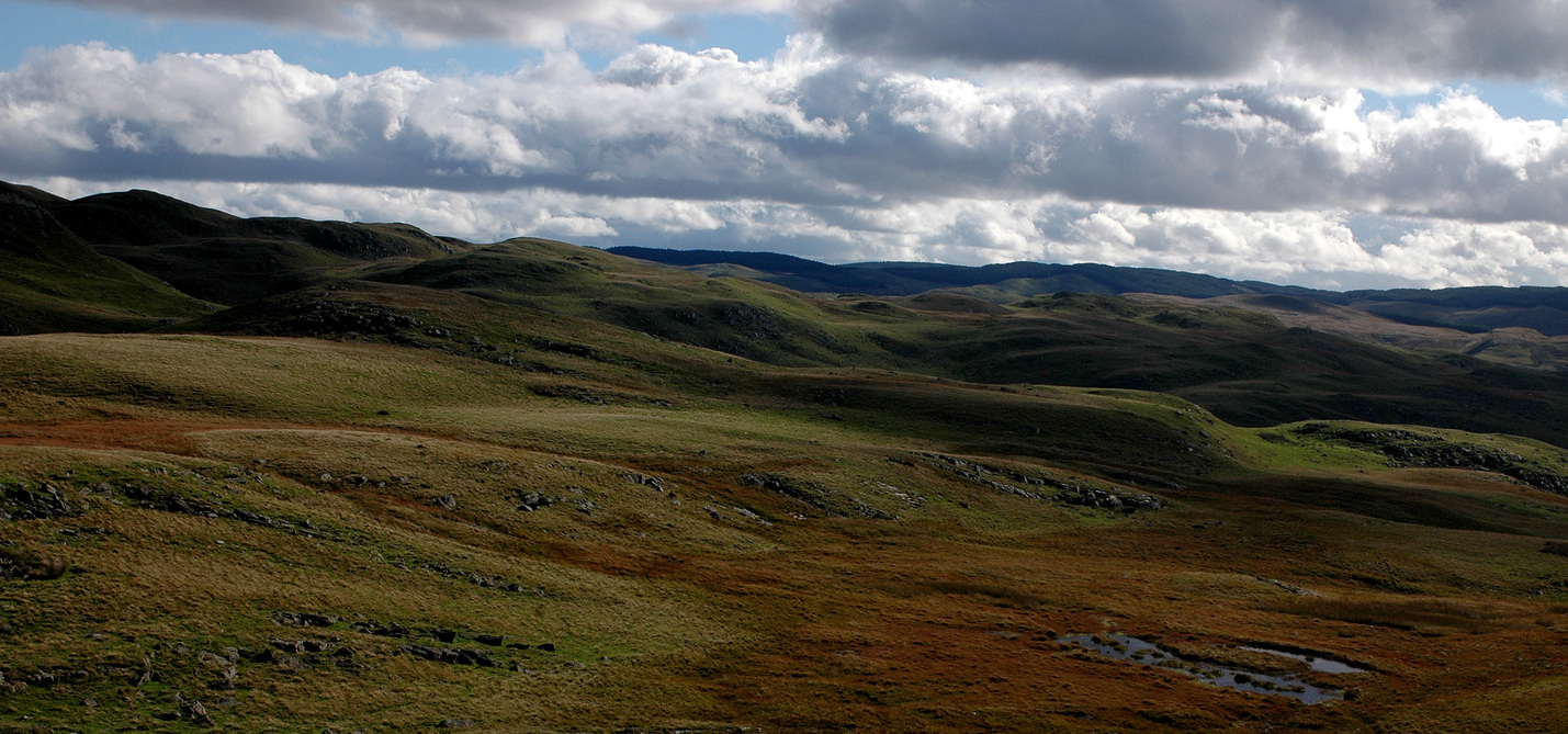

DEM
Digital Terrain Models (DTMs) represent the elevation of bare terrain whilst Digital Surface Models (DSMs) represent the upper height of all objects on the land surface. Copernicus EU-DEM v1.0 Copernicus EU-DEM v1.1 Lle Wales LiDAR DSM & DTM OS Terrain 50