The concepts behind Living Wales need introducing and some explanation and so we are progressively providing a series of short video, which can be accessed below.
Living Wales Videos
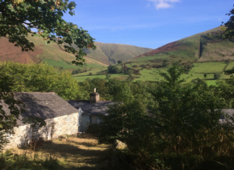
Introduction to Living Wales
Living Wales is a new approach that allows routine land cover and change monitoring for Wales from Earth observation and other spatial data.
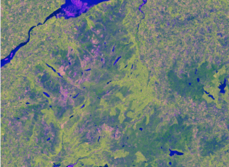
Satellite and airborne observations
For Wales, a large amount of Earth observation (EO) data have been acquired for over four decades. Living Wales is using these data to facilitate land cover characterisation, mapping and monitoring.
Environmental Descriptors
Living Wales has focused first and foremost on retrieving environmental descriptors from satellite and airborne data as these are the fundamental building blocks of our land cover and change maps.
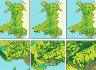
Land cover classifications
The maps of land cover for Wales are constructed from environmental descriptors retrieved primarily from Earth observation data and according to the Food and Agriculture Organisation (FAO) Land Cover Classification System (LCCS).
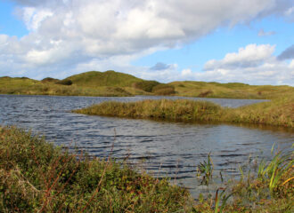
Translation to habitat categories.
The FAO Land Cover Classification System (LCCS) was selected as many of the categories translate across to habitat classes but also others can be mapped through use of the environmental descriptors internal to or outside of this taxonomy.
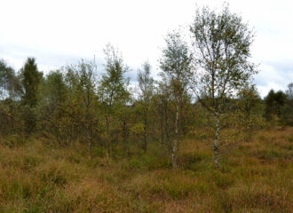
Evidence-based change
Living Wales has developed a new approach to the detection of change that utilises a globally applicable change taxonomy that describes impacts associated with different drivers and pressures. Changes are then determined by considering changes in the environmental descriptors and the land covers from which these are constructed and/or described.
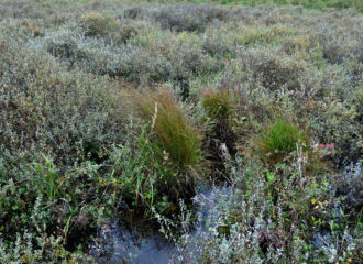
Checks with reality
Ground data that are timely, relevant and consistent at a national level are essential for supporting environmental mapping and monitoring across Wales. Living Wales has provided capacity for ground data collection through use of the Earthtrack mobile application but also through reference to other data sources, including sensor networks and airborne observations.

