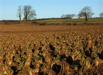
Following Crop Type products are available:

Period: 2015, 2016, 2017 Sensor: Sentinel 1 C-band SAR and Sentinel 2 (from 2016) Frequency: Yearly (made available in October each year, oilseed rape maps in August each year) Resolutions: vector format (ESRI shape file), minimum mapping unit 2ha. Extent: UK Data can be accessed here. (licence agreement applies) Algorithm description: These maps have been developed by Centre for Ecology and Hydrology (CEH)…