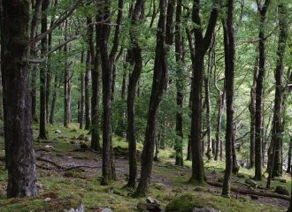
Following product is available for canopy height:
- NCEO Global Vegetation Height Frequency Distribution v1.1
- Lle Wales LiDAR DSM & DTM
Following product is available for canopy height:

Sensor: ICESAT GLAS (dataset from 2002 to 2009 have been used) Resolutions: XY: 0.5 degree. Z: 0.5 m (from 0 to 70 m). Extent: Global Data can be accessed here. Algorithm description: ICESAT Geoscience Laser Altimeter System (GLAS) waveform data contain information on topography (slope) and objects on the surface (mostly vegetation). Vegetation height is derived from the GLA14 product…
Read more NCEO Global Vegetation Height Frequency Distribution v1.1