
Although the definition of fraction of canopy cover known as FCOVER is very simple (fraction of ground area covered by vegetation canopy), it is important to clearly understand and specify the ground measurement methods for canopy cover in order to avoid discrepancies in terms of definitions of remotely sensed FCOVER (varying from 0 and 1) and objectives of the field data survey. The field survey methods for canopy cover are done to establish percentage canopy cover of member species, however the total canopy cover can also be estimated from these measurements.
LIVING WALES RECOMMENDS:
Gap Light Analysis Mobile App (GLAMA) for canopy cover
https://play.google.com/store/apps/details?id=new4.glama.glamanew4&hl=en_US
Click to access Canopy-cover-protocol-for-campaign_GLAMA_2021.pdf
Further information can be found here:
Two relevant survey approaches to estimate species wise as well as total canopy cover are:
Two relevant survey approaches to estimate canopy cover by species as well as total canopy cover are:
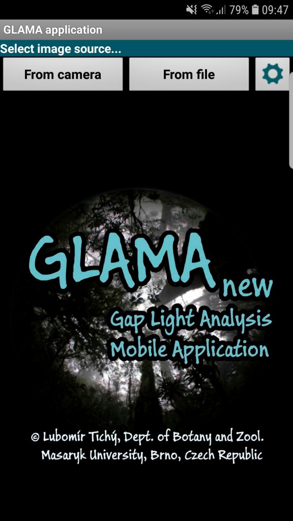 Some mobile apps have been developed to measure total canopy cover fraction based on photographs captured by camera looking vertically upward or downward. These apps calculate canopy cover by segmenting photographs and separating vegetated pixels against dark soil or sky background. Some examples of apps – GLAMA, Canopy Cover Free, CanopyApp, Canopeo, HabitApp.